GPS position
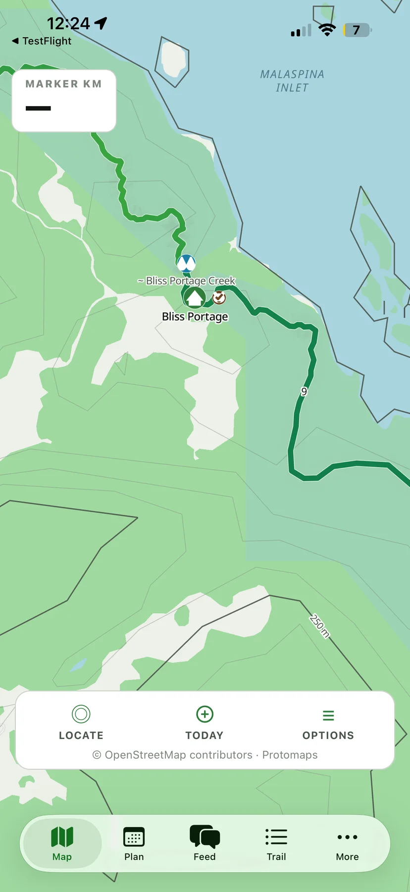
See your GPS position and nearest marker interval. GPS works in airplane mode.
Independent · unofficial · iPhone beta
Offline map and trip planner for the hut-to-hut trail near qathet / Powell River, BC. No permit, fees or lottery required — see the facts below.
Sarah Point to Saltery Bay, drawn from the mapped route. Heights are terrain estimates — read them as "~".
The map and saved plans work offline. Hiker reports update when the app connects.
See your GPS position and nearest marker interval. GPS works in airplane mode.
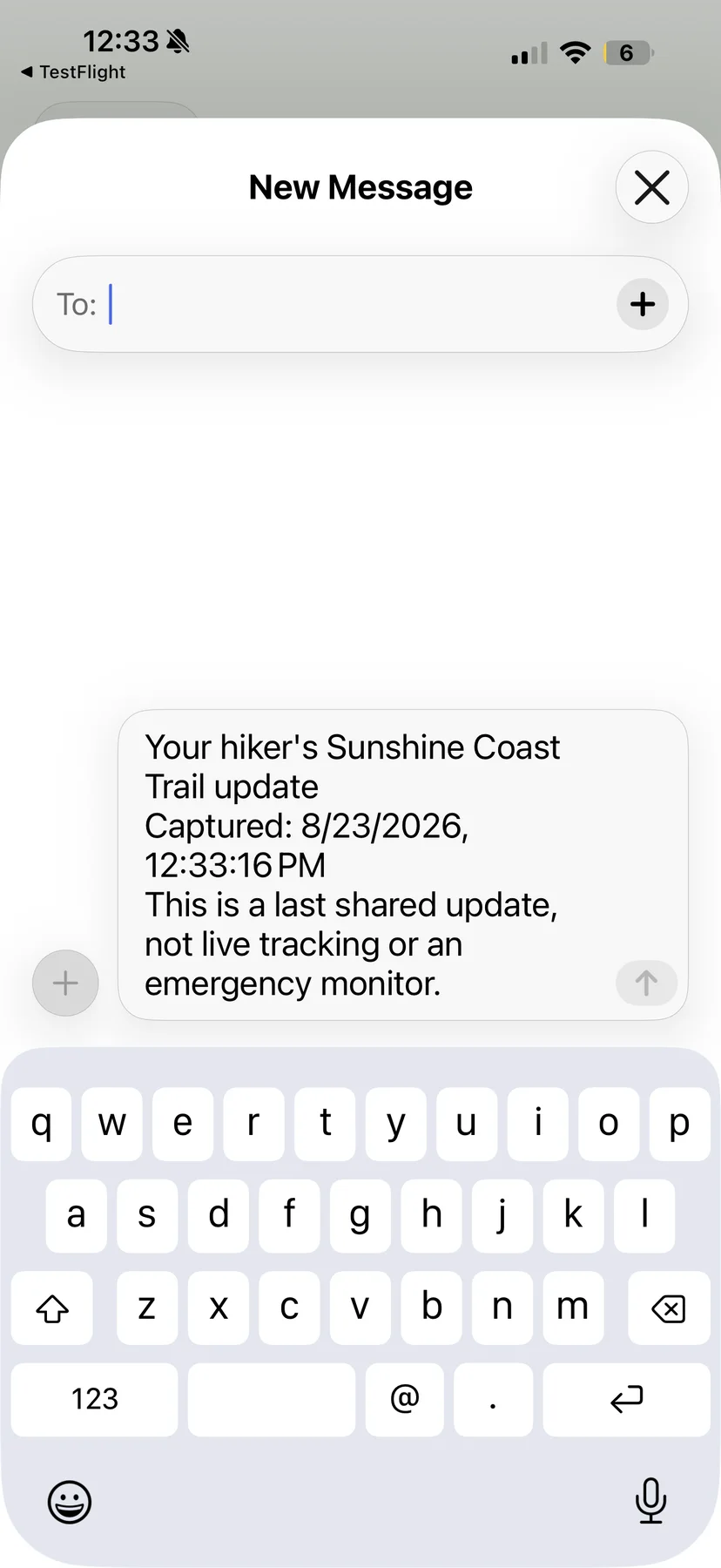
Plan where you'll stay each night — huts and campsites along the route — and share your plan with family.
Check water sources along the trail and when each was last confirmed.
Read reports from other hikers along the trail — water, wayfinding, trail conditions.
Coordinate rides with other hikers.
AllTrails has offline maps, GPS navigation and trip recording. Sunshine Coast Trail Planner adds marker progress, hut nights, water warnings, access records and local transport.
In the beta
The SCT map and planning data are stored on the phone.
There are conflicts in the actual length of the hike and in the distances between kilometre markers — reroutes over time, logging activity, new and safer bridges.
To improve the app, we’d love a clean GPX track of your hike: sct@milecheckapp.com.
The guide covers transport, water, huts, packing and local services.
Routes into Powell River and onward to Sarah Point or Saltery Bay.
Dated notes from Leah’s July 2026 thru-hike and reports from other hikers.
What I carried, my base weight, and what I’d leave home.
Transport, resupply and visitor contacts.
TestFlight
Android is not available in this test.
Planned after beta
Offline Trail Pack
The app will be free to download. Raw GPS position and emergency information will remain free. The paid trail pack is planned to include the full offline map, Tonight Brief, water sequencing, saved itineraries and recording history.
No subscription.
The developer
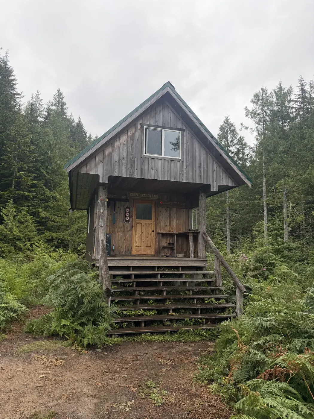
I thru-hiked the SCT with my dog in July of 2026. I planned the trip with qPAWS maps, guidebooks, routing apps, transport sites and hiker reports. I built the app to keep that information together and available offline.
Trail maintenance
This app is independent. Donations through the official trail site go directly to qPAWS. The plan when the app goes paid: $9.99 once, with $1 from every sale intended for qPAWS.